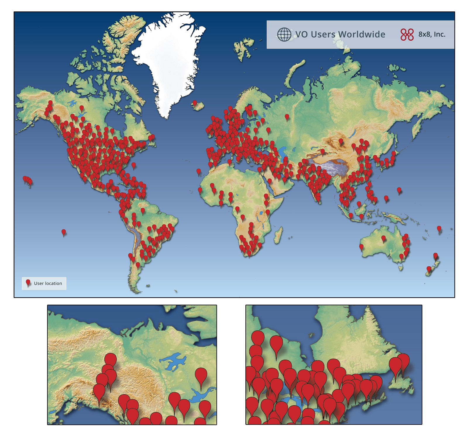
Infographic map for 8x8, Inc.
17
Created on 99designs by Vista
Used freely available height data from Natural Earth and NASA to render most of the background in ArcGIS. Tidied it up in Photoshop by hand (accuracy was not expected from the client). Client wanted location points similar to Google Maps but not matching too closely. Added shadows to help lift the location points visually.
